Our Lake (also known as Hidden Lake), Trail #184
http://hike.wildmontana.org/wmt9b507716263d915
Two big waterfalls and an alpine lake with mountain goats – what more could you ask for?
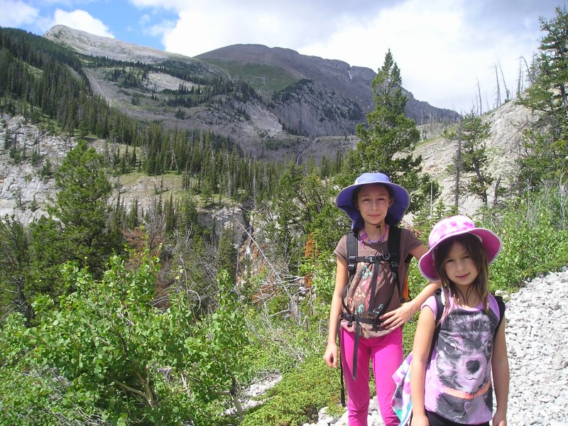
This trail has two names: Our Lake and Hidden Lake. The sign at the trailhead says “Hidden Lake.” Most of the trail consists of a series of gradual switchbacks up through a forest dominated by subalpine fir and Englemann spruce. There are lots of wildflowers including bog gentian and indian paintbrush in July. The rewards of this hike far outweigh the climb up the switchbacks, making it an excellent destination for families with kids.
From the parking area, follow the flat, wide path. At 0.25 miles, the trail splits. Go right (left is to Headquarters Pass, where stock are allowed on the Heaquarters Creek Trail #165). Stock are not allowed on the trail to Our Lake.
At 2 miles, you will cross a large, steep scree slope and will see a large waterfall in a canyon down in the distance. The trail climbs above this fall.
At 2.7 miles the trail brings you to the second waterfall, which you can walk right up to. In mid-July, there are 2 big snow / ice walls at the base of the fall with the water cutting through the middle. By September, there may not be any water descending the chasm.
Continue another 0.5 mile uphill to Our Lake. Look for mountain goats at the edge of the lake and the surrounding mountainsides.
Some years, it may be possible to drive to the trailhead and snowshoe to Our Lake in early spring. Call the ranger district to learn current road conditions. Beware of possible avalanche danger, especially at the steep scree slope at 2 miles.
Directions
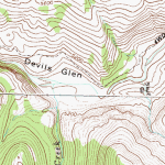
Drive 5 miles north of Choteau on Hwy. 89 to the Teton River Road on your left. There is also a sign here for Teton Ski Area. Drive 18 miles to a bridge then turn left onto the South Fork Teton Road 109. Go 11 miles on the gravel road past the Mill Falls Campground (4 camping sites) to the trailhead at the end of the road.
http://wildmontana.consensusdev.com/data/img/large/wmt14ae3fc67624ced74.jpg